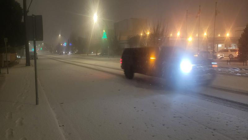
Image: Mike Vanden Bosch / PML / Environment Canada is calling for 2-4 centimeters of snow to fall on Saturday, Dec. 17. Subzero daytime temperatures will start on Sunday and linger for several days.
Snowfall expected
Environment Canada calls for very light snowfall on Saturday in Chilliwack
Dec 16, 2022 | 10:26 AM
-
Share on Facebook
-
Share on Bluesky
-
Share on X
- Copy Link
CHILLIWACK — While it’s unclear whether Environment Canada’s latest forecast calling for snow will materialize like its last two missed snowfall projections, it’s clear subzero temperatures during the day will certainly arrive this weekend.
According to a Friday morning (Dec. 16) forecast, the national weather agency is calling for flurries and snowfall accumulations of between 2-4 centimeters.
Saturday temperatures will barely exceed the freezing point with a forecast mark of only 1 Celsius. Nighttime temperatures will hover around -3, Environment Canada said.
Colder weather is expected Sunday as temperatures will only approach -3; much colder weather is set for Monday with a frigid daytime high of -8.
