Updated: Severe thunderstorm warning downgraded to ‘severe thunderstorm watch’ Saturday
-
Share on Facebook
-
Share on Bluesky
-
Share on X
- Copy Link
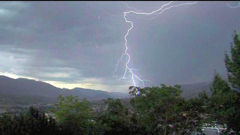
**Update at 4:15 p.m. Saturday: Environment Canada has downgraded the severe thunderstorm warning previously issued to a severe thunderstorm warning. From Environment Canada: Conditions are favourable for the development of severe thunderstorms that may be capable of producing strong wind gusts, large hail and heavy rain. Funnel clouds have been observed this afternoon in the Fraser Valley near Yarrow and conditions are such that they may reform over the next several hours. Remember, severe thunderstorms can produce tornadoes. Heavy downpours can cause flash floods and water pooling on roads. Severe thunderstorm watches are issued when atmospheric conditions are favourable for the development of thunderstorms that could produce one or more of the following: large hail, damaging winds, torrential rainfall.**
Original story below from Saturday at 3:45 p.m.:
CHILLIWACK — Environment Canada has issued a severe thunderstorm warning for the Chilliwack area Saturday afternoon.
According to a warning issued Saturday afternoon (June 15), Environment Canada said at 3:16 p.m. Saturday that its meteorologists are tracking a severe thunderstorm capable of producing strong wind gusts, pea to dime size hail and heavy rain. This thunderstorm is located near Yarrow. It is moving northeast at 15 km/h towards Chilliwack.
