Environment Canada says snow ‘likely’ in many areas this weekend, including Chilliwack and Abbotsford
-
Share on Facebook
-
Share on Bluesky
-
Share on X
- Copy Link
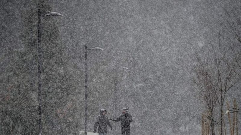
CHILLIWACK — Environment Canada says a wintery mix of weather conditions could impact B.C.’s southern coast the next several days, but is stopping short of guaranteeing a specific amount of snow.
According to a special weather statement disseminated at 3:48 p.m. Wednesday (Jan. 29), the national weather agency says a low pressure system should make its way towards the B.C. coast with steady precipitation starting Thursday afternoon.
Environment Canada predicts that due to initially low freezing levels, wet snow is likely over higher elevations with some areas receiving about 4 centimeters by Friday morning when snow is expected to change to rain for most regions, like the Lower Mainland for example.
On Friday, however, temperatures are anticipated to increase and produce periods of rain throughout the daytime. Some regions like North Vancouver’s North Shore could significant rainfall amounts. A rainfall warning of 50 mm has been forecast for Abbotsford.
