A dock on Deer Lake, an ideal point for viewing the forest-covered mountains northeast of Harrison Hot Springs. (Image Credit: BC Parks.)
Boundary adjustment request

Two area governments ask province to remove land from Harrison-area park

Feb 23, 2026 | 8:52 AM

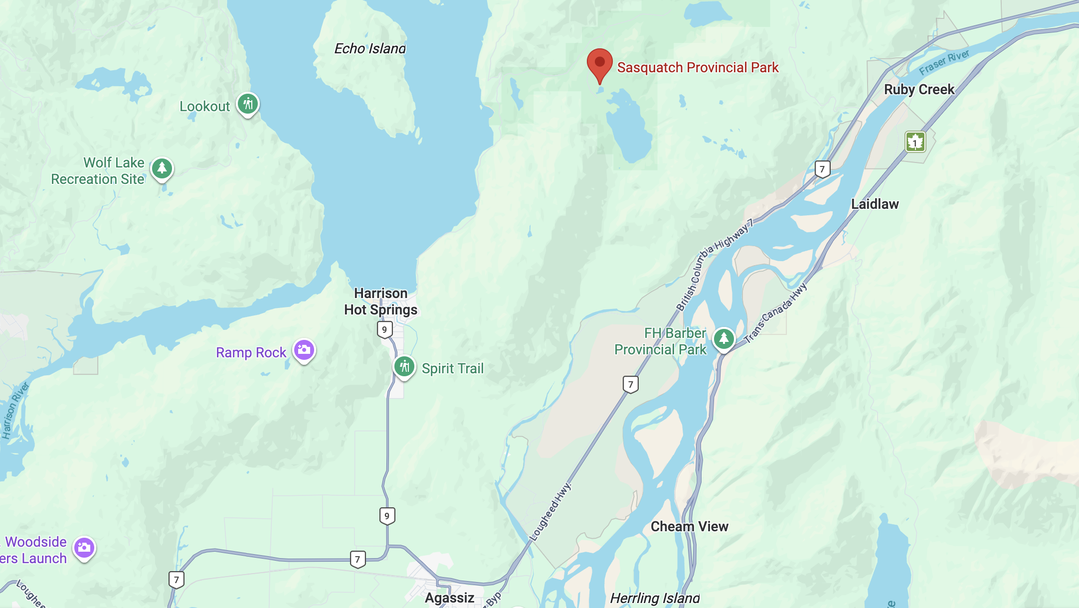
HARRISON – Two government agencies have asked the B.C. government to remove land from a provincial park northeast of Harrison Hot Springs for the purpose of emergency preparedness and readiness.

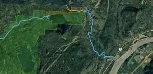
According to the BC Parks website, the District of Kent (Agassiz) and the Village of Harrison Hot Springs are requesting to remove land from Sasquatch Provincial Park to allow for the construction of an emergency evacuation route.

The province says the proposed route would provide an alternate egress during an emergency evacuation of these communities.

The purpose of the land adjustment request involves the use existing roads and construction of a road segment along a former railway bed for use as an emergency access route, as well as for use for timber hauling.

Given the route overlap with the proposal previously received from Seabird Island Band, the Minister of Environment and Climate Change Strategy has invited a Stage 2 proposal to be prepared jointly by the District of Kent, Village of Harrison Hot Springs and Seabird Island Band.

According to the text of the boundary adjustment request, the District of Kent and the Village of Harrison Hot Springs are in favour of returning the park boundary to its original status once the evacuation route is established. The province says this would be subject to light maintenance being permitted to maintain its accessibility and functionality. The District of Kent and the Village of Harrison Hot Springs would agree to provide light maintenance on the road once all the infrastructure is completed.

Project Description Background and Rationale

Building an evacuation route from the north end of Rockwell Drive (located in the District of Kent) has been a priority of the District of Kent and the Village of Harrison Hot Springs for over 20 years. The boundary request says residents, businesses, and visitors travelling north past the Golf Road intersection of Provincial Highway 9 have only one access or egress route in the event of an emergency. This encompasses a permanent population of approximately 2,000 in the Village of Harrison Hot Springs, and a portion of the District of Kent. However, during the busy tourist season that number often grows to more than 10,000 people.

Additionally, those that live or travel north of Harrison Hot Springs may also be trapped by a road closure on Rockwell Drive. This includes campers and day users of Sasquatch Provincial Park. Recreators and residents along the Harrison East Forest Service Road are also vulnerable if access/ egress along Rockwell Drive is hindered. The proposed evacuation route located at the northern portion of the identified area would provide a safe egress during an emergency evacuation whether the event impacted Highway 9 or Rockwell Drive.

Image: BC Parks / Rockwell Drive to Lougheed Highway, the proposed evacuation route.

The District of Kent says there have been multiple incidents between 2013 and 2021 in which the Rockwell Drive area in the District of Kent has been cut off due to a variety of emergencies. For example, Rockwell Drive in the 6500 and 6900 block was impassable for several days due to landslides during the November 2021 atmospheric river events. There were windstorms in October 2020 and January 2021 that downed trees and power lines, cutting off access on Rockwell Drive for several hours. In February 2020, major flooding and a landslide event occurred that effectively made Rockwell Drive impassable at the intersection of Hicks Lake Road for several days. One person was actually trapped in Sasquatch Provincial Park between Feb. 1 and Feb. 12, 2020.

The province says there will be public engagement opportunities for this project in the future.

Location of Sasquatch Provincial Park.
Location of Sasquatch Provincial Park. (Image Credit: Google Maps.)

The province says B.C.’s system of provincial parks and protected areas contains over 14 million hectares. From time to time, the need arises to adjust park and protected area boundaries. In recognition of the public interest in the establishment and management of parks and protected areas, and the integral role parks and protected areas play in supporting local economies and community-based recreation, the B.C. government has provided parks a high level of legislative protection. Because of this, boundary adjustments often require changes to legislation, the province says.