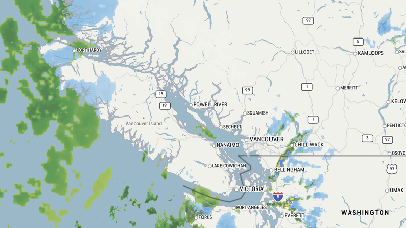
Chilliwack and Abbotsford could get clobbered by high winds starting Tuesday
CHILLIWACK — Environment Canada issued a special weather statement late Sunday night saying very windy conditions could roll into Abbotsford and Chilliwack by Tuesday morning, with peak wind speeds arriving Tuesday evening.
According to the statement issued Sunday night at 9:44 p.m. Pacific Time, a significant fall storm is set to impact Vancouver Island beginning Tuesday. An area of low pressure is expected to deepen rapidly some 400 kilometers west of Vancouver Island on Tuesday before it curls northwards on Wednesday and remains offshore in the storm’s duration.
Coastal areas will see southeasterly winds pick up through the afternoon on Tuesday, followed by peak wind speeds occupying most areas of the south coast on Tuesday night. Strong winds will persist Wednesday morning but should ease by Wednesday afternoon.
Environment Canada says “very strong” outflow winds can also be expected through mainland inlets and valleys, including Chilliwack specifically. Some areas can expect heavy rain at times during this weather event, though winds are the primary concern.
