More snow expected on mountain passes east of Chilliwack tonight
-
Share on Facebook
-
Share on Bluesky
-
Share on X
- Copy Link
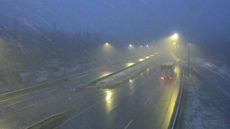
CHILLIWACK — The grip of winter is refusing to loosen its clutch on mountain passes in the B.C. Interior as the unofficial start of summer arrives. Environment Canada has extended a Special Weather Statement through Saturday morning, making for a tricky start to the Victoria Day long weekend.
The national weather agency says an upper low is delivering a cold airmass to higher elevations of the BC Interior as the long weekend gets underway. Cold air along with precipitation will result in high-elevation highway passes receiving snow. Motorists can expect the precipitation to come down as rain during the day before turning to flurries overnight and into Saturday morning.
Environment Canada says up to 5 cm of snow is expected by Saturday morning along the Coquihalla Highway from Hope to Kamloops and along the Okanagan Connector from Merritt to Kelowna.
Milder weather conditions are expected to arrive in the region later in the weekend.
